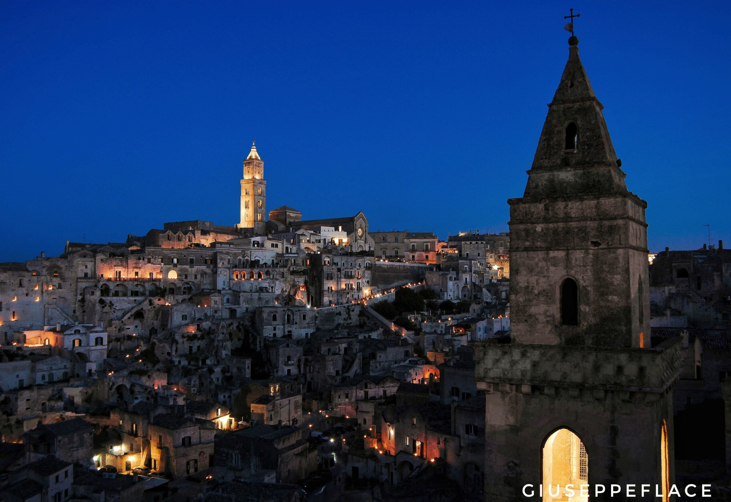
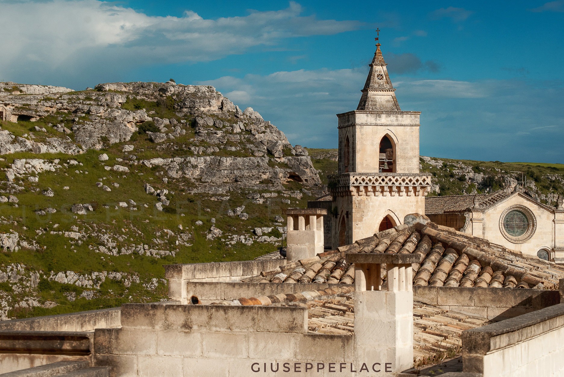
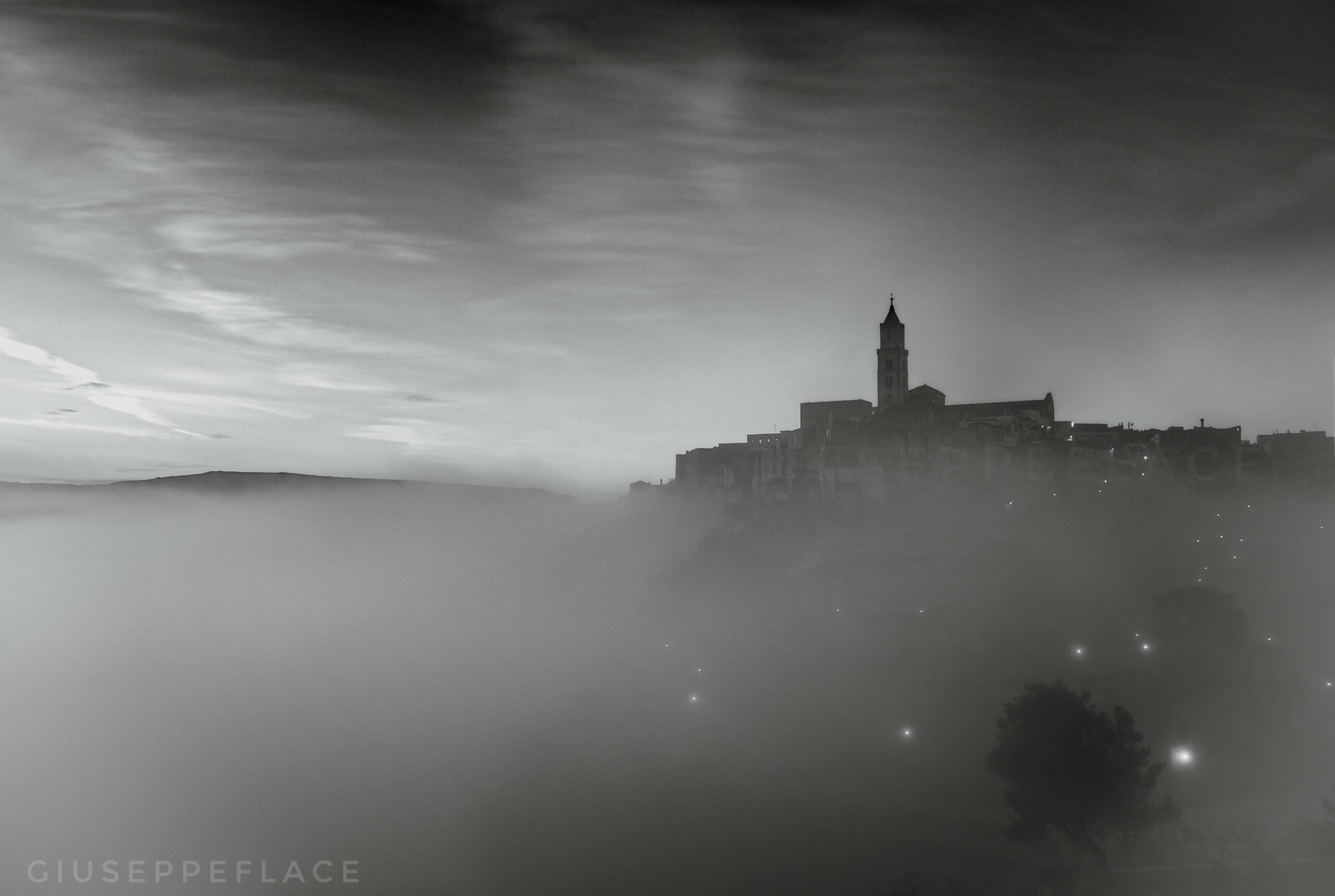
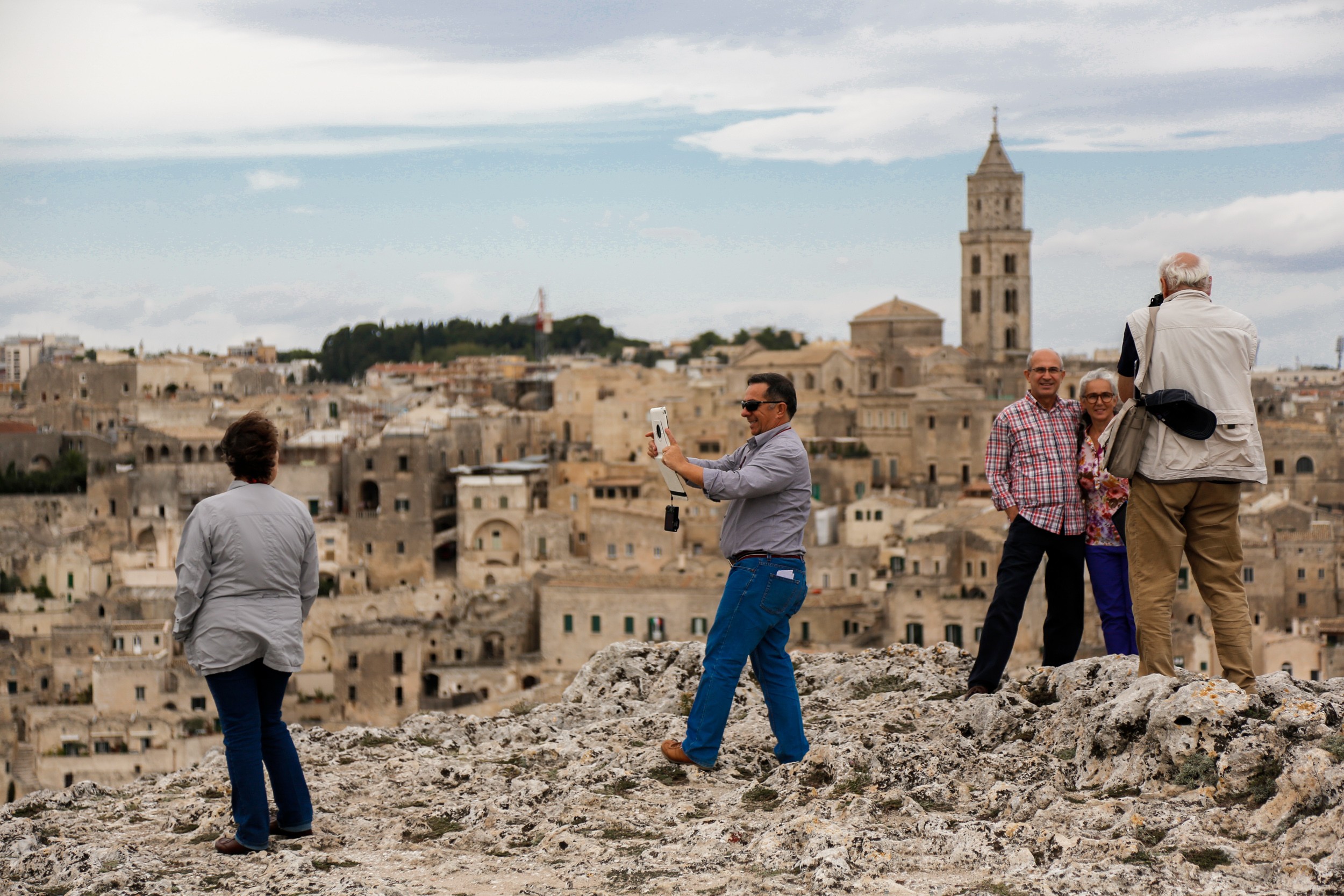
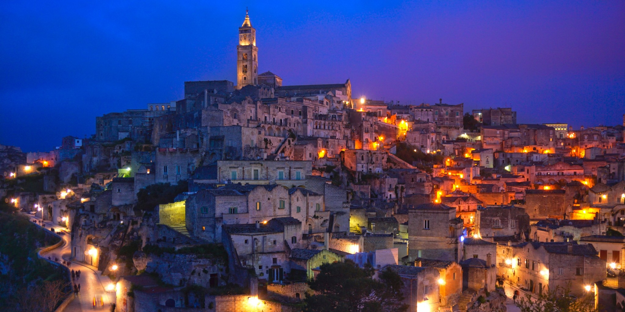
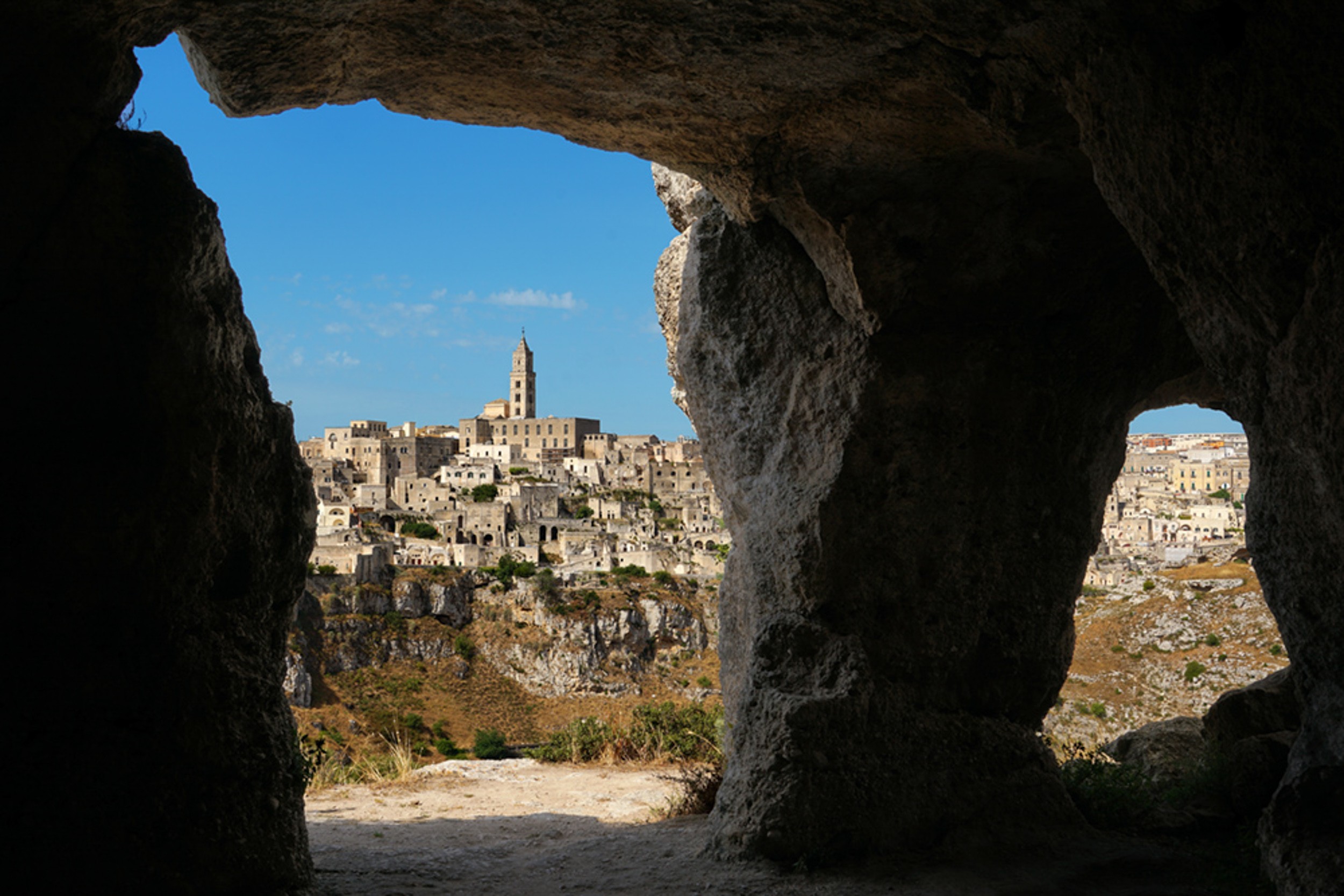
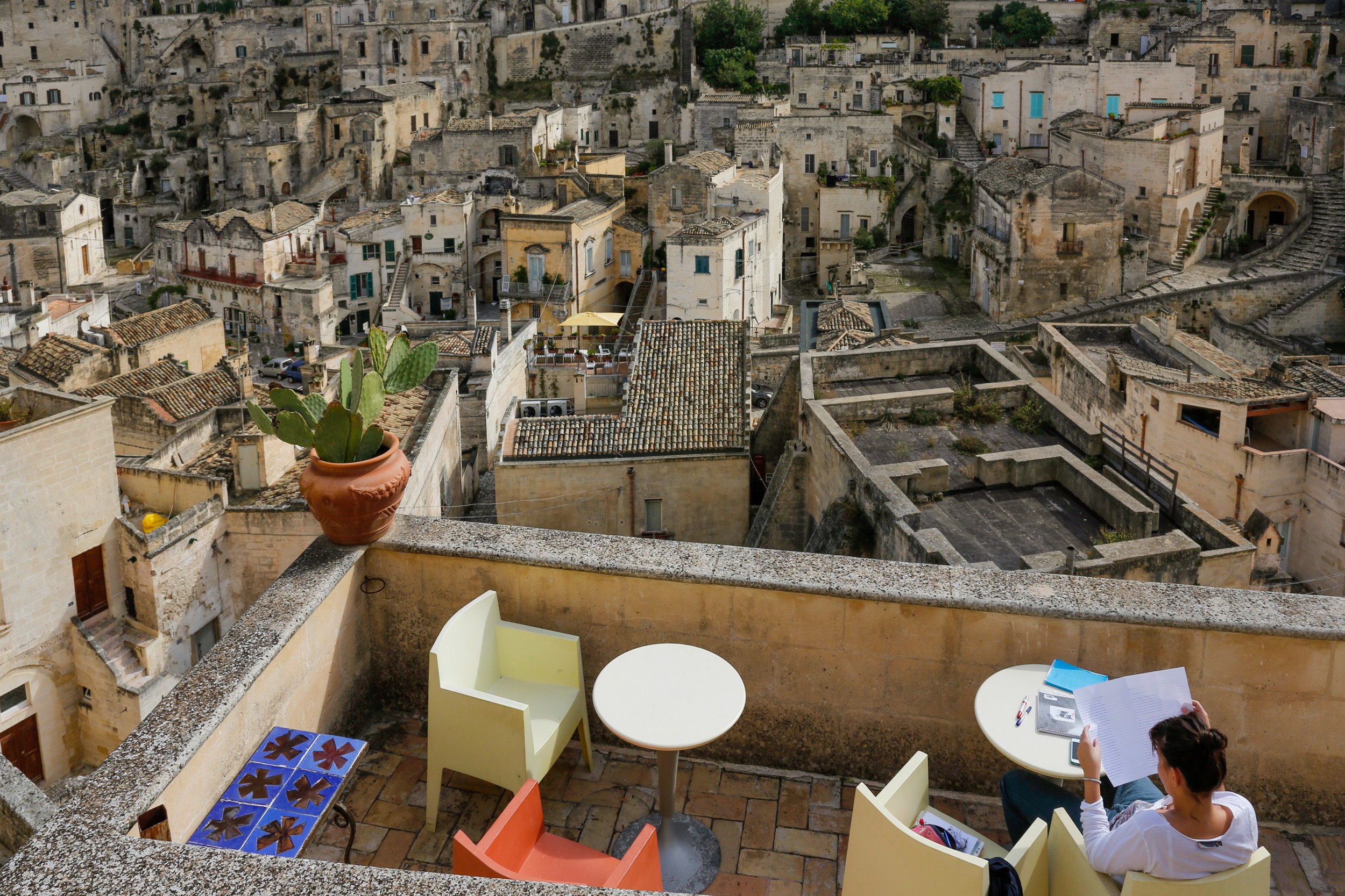
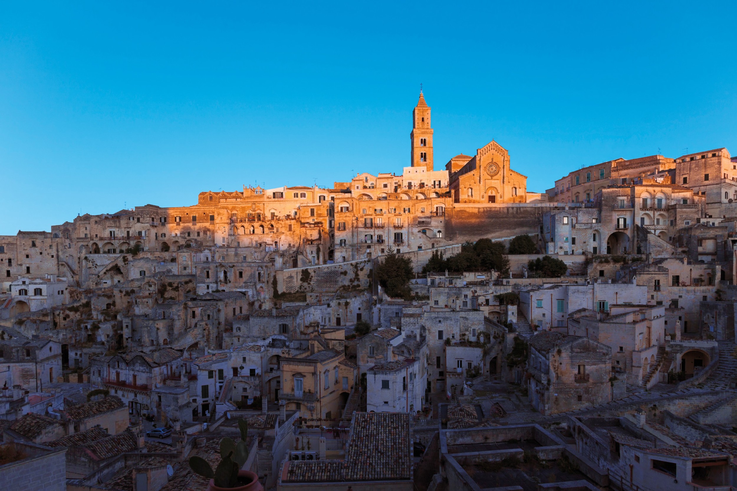
Matera, designated a UNESCO World Heritage site in 1993, bears witness to unique human endeavours, where the combination of the Sassi and the Natural and Archaeological Park of the Rock churches form the perfect symbiosis between the cultural and natural characteristics of a place. Its transcendent universal value derives precisely from this integration between the natural and cultural characteristics of the area. The Sassi, the ancient districts of Matera, are a stunning sight, one that is unique in the world. The natural spectacle that was the European Capital of Culture 2019 will take your breath away. The two Sassi districts, Caveoso and Barisano, dug into the limestone, are unique from an urban planning point of view and also because of the exceptional nature of their history.
A little insight
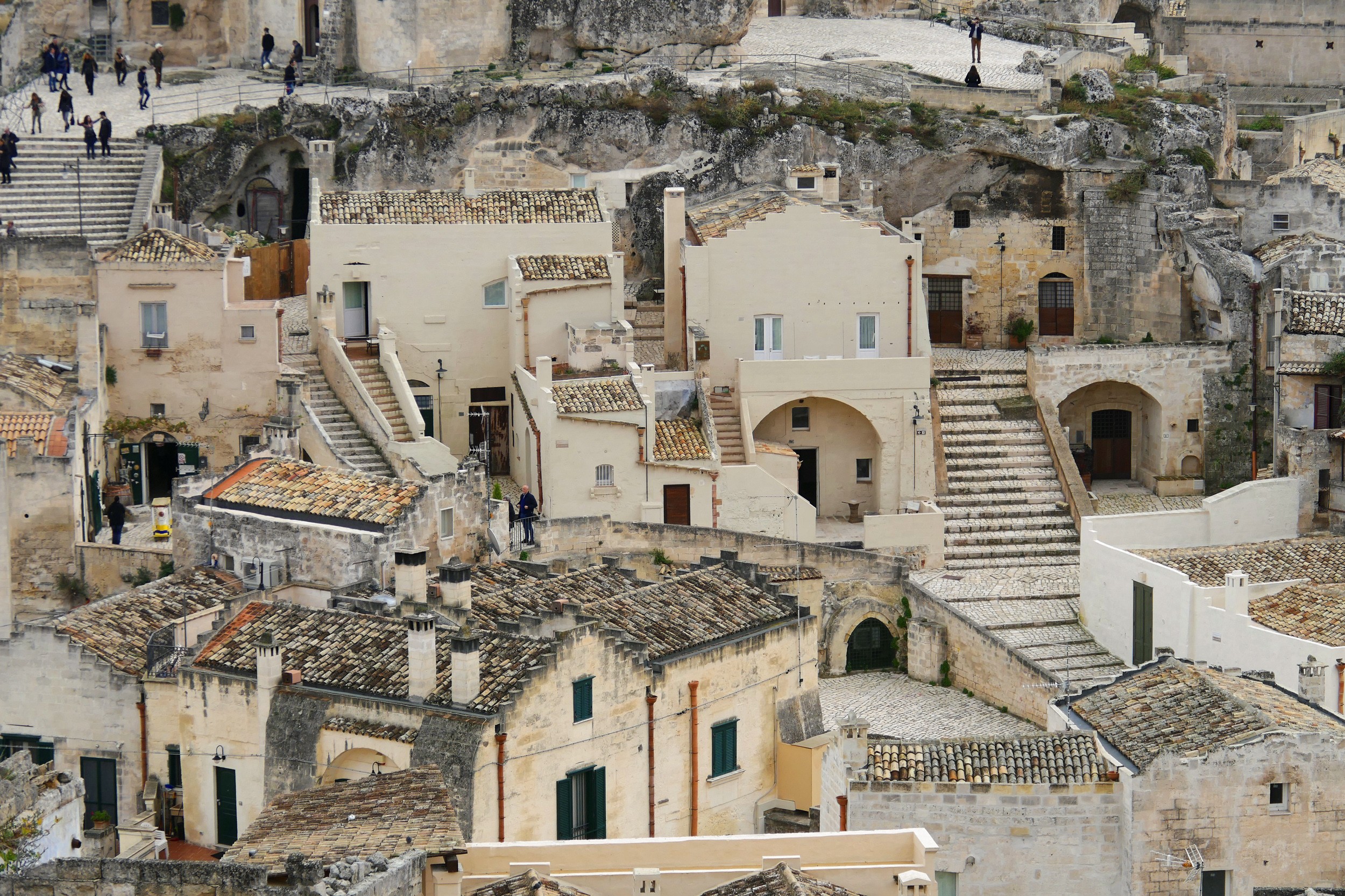
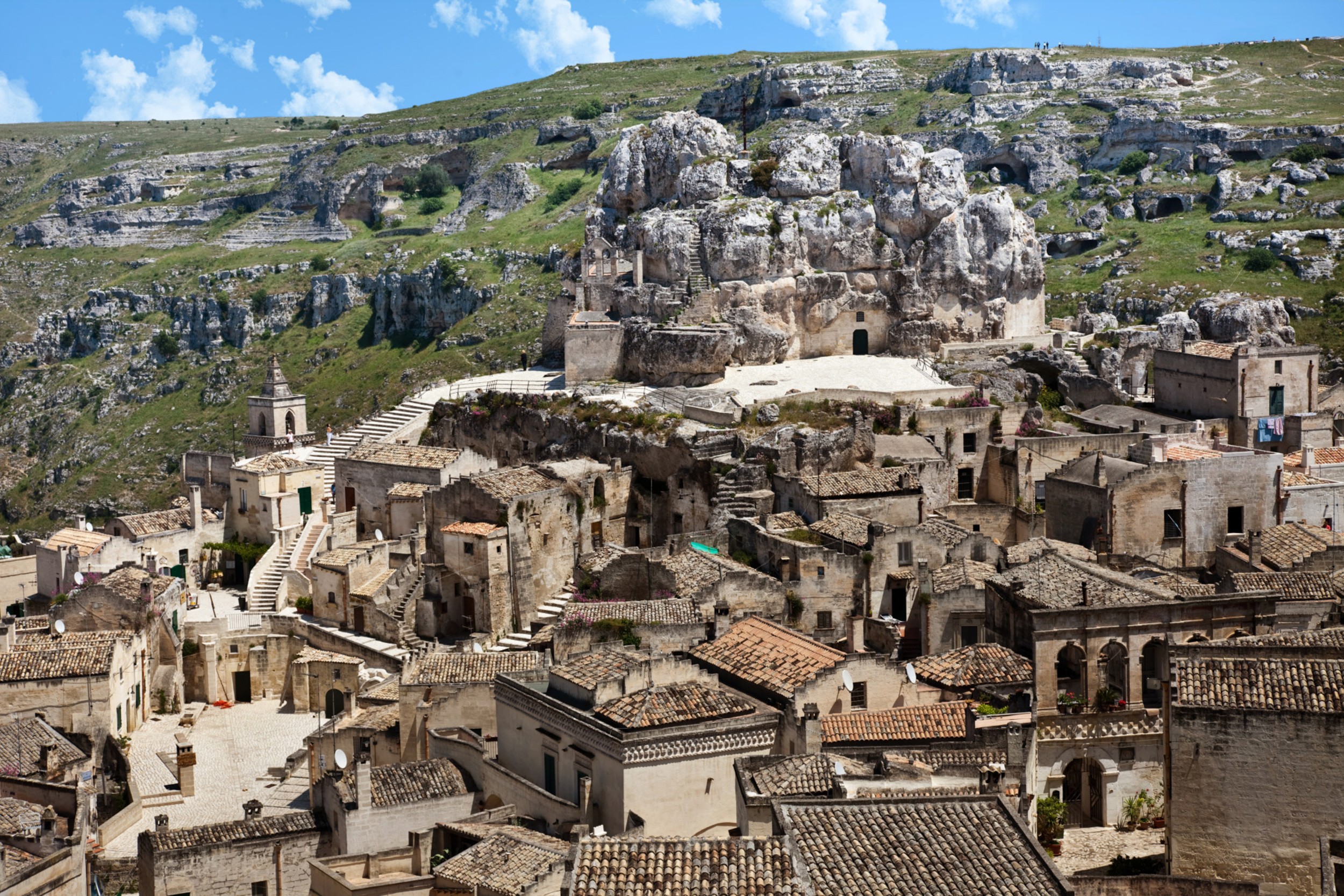
The Sassi of Matera – The Sassi of Matera are considered the oldest urban settlement in Europe, the epicentre of civilisation and of rupestrian culture, which ever since prehistory developed along the Ionian section of the ancient Appian Way. The segment of the Appian Way that runs from Matera to Taranto, sometimes called “La Tarantina”, is characterised by its multitude of cave dwellings, housing units inside caves dug into the rock faces which run along the canyons and its cliffs with rocky walls, where natural caves can also be found. These rupestrian sites are mainly located in Matera, Gravina in Puglia, Laterza, Ginosa, Mottola, Massafra, Statte and Taranto. The Sassi di Matera, which are nestled in the walls of the Matera’s Gravina canyon and have a surface area of thirty-two hectares, prove to be the most extensive and spectacular. The steep cliffs of the canyons of Matera, Picciano and the Bradano river boast a number of natural caves which have been inhabited since Prehistoric times (Grotta dei Pipistrelli, Grotta Funeraria, Grotta La Monaca, Grotta dell’Istrice, Grotta dell’Acino del Finocchio, Grotta del Forterizzo, Grotta del Diavolo, Grotta del Tavuto, Grotta del Giardino del Monaco, Grotta della Femmina and others). On the terraces of the gorges, however, Neolithic villages surrounded by defensive walls and moats seem to spread out at regular intervals of less than a kilometre between one another. Three Neolithic villages have been found along the Appian Way in the Matera area: one in Serra d’Alto, one in Murgecchia, one in Murgia Timone and one in Verdesca, whilst there are two in Trasano, two in Trasanello, and three in Tirlecchia. This was the era in which the city of Matera was founded. In this period, groups of prehistoric hunter-gatherers moved towards a more agricultural and livestock rearing lifestyle, becoming sedentary and settling the high grounds overlooking the Sassi, known now as the Civita, the Castelvecchio, Piazza San Francesco d’Assisi and the Castle hill. Since then humankind has never left these places. During the Metal Ages, the same time these Neolithic settlements were established there were also numerous dwellings distributed into scattered units, comprising huts and caves dug into the rock, all arranged around a common open ground – the neighbourhood layout that would become the subject of important anthropological studies in the 1950s and 1960s, as a symbol of a Prehistoric lifestyle that had survived until recent times. Until the 1960s, millstones and grinders very similar to those found in Neolithic villages were still in use in the Sassi districts. It is likely that from Greco-Roman times, masonry façades began to be used to close the cave openings and replace the huts, until the stone dwellings and larger residences occupied all the original caves. For this reason, in rupestrian culture and civilisation, caves dug into the rock were never alternatives to wooden or stone buildings but were complementary to them. The Sassi dwellings have both rock-hewn sections and built-on extensions, with the narrow lanes and steps forming the roofs of the cave parts of the housing units built on the underlying levels. The dwellings and neighbourhoods contain numerous cisterns for collecting rainwater, which was mainly channelled from the roofs of the dwellings using terracotta gutters and drainpipes. The Civita is the area occupied by the ancient Lombard castle and the Romanesque cathedral, the highest part of the settlement. The Sassi districts are dug into the two deep valleys on either side and are separated into Sasso Caveoso and Sasso Barisano, a maze of houses and caves that overlook the canyon in perfect harmony with a panorama that is unique in all the world. The name Caveoso might stem from the Latin “caveatus” which means “arranged in a theatre shape”. Instead the root of “bar” in the name Barisano is the same as in the Italian word “baratro” (meaning abyss in English) and in the name of the city Bari, which stems from the Greek φαραγξ and from βαρις, homonyms which in Greek mean “chasm” and “boat” respectively, and boats are shaped like a chasm. The suffix “ano” in the name Barisano, is common to other words denoting places and settlements, like Picciano, Calciano, Aliano, Grassano, Montalbano, Polignano and Milano, and may stem from the Greek word ανα, which means “above”. So Barisano could mean “above the abyss, above the chasm”. The plateau above the Sassi (Via Santa Cesarea, Via San Biagio, Piazza San Rocco, Via San Biagio, Piazza Vittorio Veneto, Via delle Beccherie, Via del Corso, Piazza del Sedile, Piazza San Francesco, Via Ridola and Piazza Pascoli) is considered the historical centre of the city and is simply called the Piano (flatland in English).